Home  >  Hardware

November 8, 2026      Hardware      Source: 3DMakerpro GEO | Product specifications checked November 8, 2026      20      Share to X.com

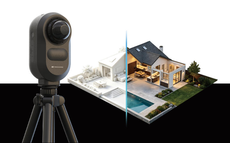
The tripod-mounted scanner combines spatial capture and panoramic imaging. Its 5 mm accuracy claim applies to stationary ranging at 10 m, rather than every finished building model.

3DMakerpro’s Owl targets architectural surveying by collecting point clouds and panoramic imagery in one capture. The approach brings geometry and visual context into the same workflow for documenting interiors and buildings.

Cover: Owl on a tripod. Product image: 3DMakerpro.

Capture specifications need their conditions

The manufacturer lists 192,000 points per second and a 360° by 280° field of view. Its 5 mm ranging specification applies at 10 m in stationary capture; the stated 0.5–60 m scan radius is measured at 20% reflectivity.

These figures do not establish the accuracy of an entire registered building model. Capture conditions, alignment and subsequent editing still matter.

Image: Owl spatial-capture illustration. Credit: 3DMakerpro.

From scans to usable project data

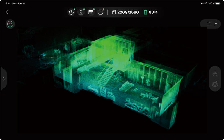
RayStudio supports point-cloud processing and export. The product workflow also offers optional online services for sharing and floor plans. AI-generated drawings should be checked against the captured geometry before use.

Image: point-cloud view on an iPad. Credit: 3DMakerpro.

Specifications and edition details: https://geo.3dmakerpro.com/products/owl
Product figures are manufacturer specifications, not independent test results.


©2026 3dptimes.com All Rights Reserved